Wednesday, October 29, 2014

Aspen Forest, Abajo Mountains, Sunrise

Up into the Abajo Mountains on the Manti-La Sal National Forest west of Monticello, Utah. Until now I'd only been able to admire this small mountain range from the edges, from afar. Now I had the time to start exploring them.

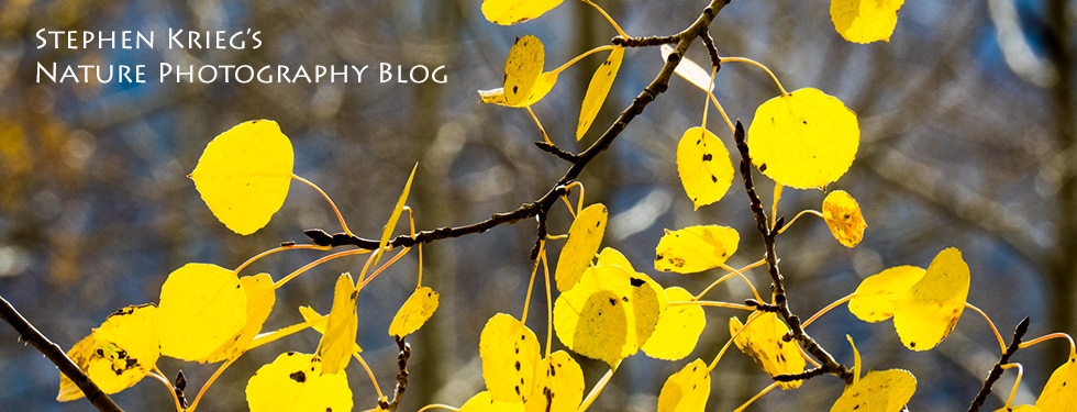
Quickly I was up into thick, tall, lovely aspen stands amidst the fir and spruce. The sun came up and lit the aspen trunks a pale gold. The towering shape of Abajo Peak made for a great background against the clear blue morning sky.

Photo Location: Manti-La Sal National Forest, San Juan County, southeast Utah.

Wednesday, October 22, 2014

Owachomo Bridge, From Below

[Photo: Owachomo Bridge, Natural Bridges National Monument, Utah].
Evening light at Natural Bridges National Monument, a small and very isolated corner of the National Park system. The hike down to this bridge, Owachomo Bridge, from the overlook loop road is very much the easiest of the three bridges in the park. And well worth it, because from below the rim of the canyons you get an infinitely better feel for the place.

Natural Bridges is easy to visit, and beautiful, with a lovely Visitor Center and a nine mile paved loop drive to the overlooks. It's in the middle of nowhere in southeast Utah, accessible by good highways with very light traffic. Just make sure you have plenty of gas and snacks. The air is clear and the night skies are amazing. There are no accommodations at or near the park, just a small campground and millions of acres of surrounding BLM and National Forest land for "dispersed camping". The nearest accommodations are in Blanding, about 40 miles to the east.

Saturday, October 11, 2014

Kanab Creek Wilderness, From Gunsight Point

[Photo: Snake Gulch on the left, Slide Canyon on the right, from Gunsight Point].
I finally drove out to Gunsight Point. I used to pass the turnoff on my way back and forth to elsewhere, each time saying to myself, "I've gotta go out there sometime and see what's there". 

The other day, as I passed it one more time, maybe one last time, I said, "Why not now?" Turned around and drove out the lonely BLM road. Today's the day.

At Gunsight Point I was surprised to see a helicopter. And crew to refuel it. So I asked what was going on. It was some wildlife biologists from the Arizona Game and Fish Department, doing aerial surveys of the bighorn sheep population in the canyons. "It's usually not so crowded out here," joked the lead biologist. True, I only saw one other car out there all day.

So, with three days off, I was glad to get out my camp chair, cooler, and camera and stretch out right on the rim of Kanab Creek Wilderness, on the Arizona Strip just south of Fredonia and the Utah State Line.