
 |
| [Photo: US 89 from Desert Viewpoint on Yarnell Hill] |
So I headed out of charming Prescott, Arizona's Mile High City*, on US 89. Up over the Ponderosa pine forested mountains south of town, and down the winding switchback highway into tiny Wilhoit.
Not much there at all, but I liked it anyway, maybe just to be out of the snowy highlands for a while. I sure did like the view from the stone walled roadside overlook on the way down the mountain. There was enough haze to make the blue and purple desert mountain ranges to the west appear even more far off and mystical.
Continuing south and steadily lower in elevation, I enjoyed passing through the beautiful horse heaven of Peeples Valley, and down through quirky little old mining and ranching town of Yarnell, to Congress. I was down in the desert, with prickly pear, cholla, and even some saguaro cacti around. The relative warmth in late February felt and smelled especially spring-like. Sweet and relaxing.
 |
| [Photo: US Hwy 93 north of Congress, Arizona] |
At that point I swung back north through the desert via US 93. This section of road is named the "Joshua Tree Forest Parkway of Arizona". Properly spelled Joshua-Tree because it's a large member of the yucca family rather than a true tree, there were plenty of these fascinating desert plants along both sides of the road.
 |
| [Photo: Moon and Joshua-Tree along US 93] |
 |
| [Photo: Moon over the desert mountains, about 5:15 PM] |
I stopped along the highway to make some compositions with the mountains and the Joshua-Trees, along with an interesting ranch gateway.
 |
| [Photo: Moon and DG Ranch Gate, US 93] |
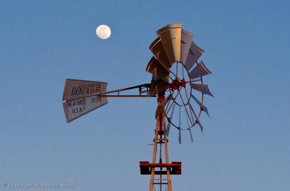 |
| [Photo: Windmill and nearly full moon at sunset, State Route 97] |
 |
| [Photo: Dusk at the Santa Maria River] |
Finally, it was more desert and canyon driving in the dark, then up over the mountains through the Prescott National Forest via Skull Valley, and back down into Prescott.
So my little drive had turned into a ten hour, 180 mile foray; not unusual for me. Have Camera, Will Travel.
-------------------------
* That must make Flagstaff, 90 miles to the north and about 2,000 feet higher in elevation, Arizona's "Heck of a Lot Higher Than Prescott" City.
(Click on any photo to see a larger version.)
Locations: Yavapai County, central Arizona.
No comments:
Post a Comment